Kirkland council discusses transportation connections
Published 8:30 am Friday, December 6, 2019
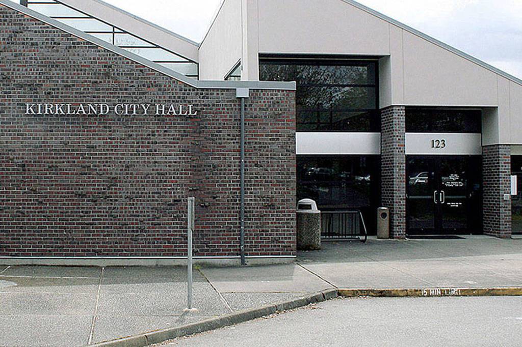


At its Nov. 19 meeting, the Kirkland City Council further discussed its citywide transportation connections map.
Drafting began earlier this year after council directed staff to create a map that would not only outline all the potential street and pathway transportation connections but also incorporate feedback from Kirkland’s residents, businesses and other stakeholders.
According to the city of Kirkland’s website, an area is identified as a connection if it improves fire and police response times, creates safer routes to schools, allows for multiple routes and lowers traffic.
“It’s been a lot of work and a lot of late nights,” assistant city manager James Lopez said of the drafting, adding, “It’s been a lot of work on the community, too.”
Feedback from the public has been collected over several months.
“The city sincerely appreciates everyone that took the time to engage in this community conversation,” a press release states.
On Nov. 19, council received an overview of the connections that have prompted the most discussion among residents and other local entities, and as a result, a call for revision or revisitation. Staff also brought up new priorities and findings.
Council discussed several connections of interests at the meeting, but a few took precedence.
One of the connections, T52, involves building a pedestrian connection/bridge along Northeast 132nd Street. Initially identified as part of the Kirkland Fire Department’s standards of coverage and development plan, the project ultimately seeks to see the completion of Northeast 132nd Street between Juanita Drive Northeast and 76th Avenue Northeast.
Although this project would potentially increase accessibility, it has not been thoroughly studied and is costly (it would be an estimated $20 million). As a result, councilmembers were almost divided at the meeting about whether to move forward with it.
Jon Pascal and other councilmembers opposed to the project agreed that the high prospective cost might be better used for other enhancements along Juanita Drive Northeast. Pascal eventually made a motion to further explore T52 but ultimately remove it from the connections map for now. It passed 5-2 at the meeting.
“I think we did a really good job in the fire strategic plan of attempting to create connections where we needed them in a very difficult area,” Mayor Penny Sweet said. “But I think the feasibility of this one just goes beyond doability — a stairway to the stars.”
Another topic of interest on Nov. 19 was expanding the Goat Hill emergency response time study scope. By broadening this, long-term improvements and maintenance would be added to already-existing access streets in the region. A motion calling for further evaluation passed 7-0.
Once revisions on the map are finalized, they will be included in the 2019 comprehensive plan update. The comprehensive plan is a document the city uses to guide how it accommodates its residents through myriad projects, services, facilities and other resources.
Council will look at staff’s final draft of the map at its Dec. 10 session. At the end of the Nov. 19 meeting, Pascal discussed why the map is an important resource.
“One of the points here is to capture all of this once and for all as a place to reference all the comments and input that has been taking place so it’s not forgotten about,” he said. “That’s something that I’m excited about because there’s a number of connections on here that have been talked about for many, many years and you just lose context. Now we’re hopefully going to have that for the future, and I think that’s a benefit.”
To watch the full council meeting, go to the Nov. 19 recording at bit.ly/2KXTJTL. To learn more about map specifics, go to the meeting’s agenda item at bit.ly/2QV2qlM. To view the map draft and public feedback, go to the city of Kirkland’s website at bit.ly/2OQOqXm.